SatLeo Labs Raises Fresh Capital to Scale Thermal Satellite Imaging Mission From India
India’s space sector grew to encompass over 300 startups by mid-2025, and Ahmedabad-based SatLeo Labs just added momentum to that surge. The spacetech startup — building a constellation of microsatellites designed to capture thermal satellite imaging data with unprecedented precision — has secured new seed funding to accelerate its mission of delivering real-time temperature intelligence from low earth orbit sensor technology platforms. This latest capital infusion follows the company’s $3.3 million pre-seed round led by Merak Ventures, with participation from Huddle Ventures, GVFL, Java Capital, IIMA Ventures, and PointOne Capital. Combined, these spacetech seed funding rounds 2026 position SatLeo to deliver on an ambitious satellite launch timeline that could reshape how industries monitor Earth’s heat signatures.
Why Thermal Satellite Imaging Matters Now More Than Ever
Here’s the blunt reality. Current thermal data operates at roughly 300-metre resolution and arrives once every 18–21 days. That’s practically useless for detecting fast-moving threats like wildfires, irrigation failures, or urban heat emergencies. SatLeo Labs aims to shatter those limitations with sub-10-metre resolution thermal data captured twice daily — a transformational leap in high resolution infrared earth observation.
The global satellite imaging market stood at approximately $7.03 billion in 2026, projected to balloon to $28.51 billion by 2034 at a 19.12% CAGR. Within that landscape, thermal constellations are carving out a growing niche in methane leak detection and wildfire early warning. The broader thermal imaging market itself is projected to grow from $4.81 billion in 2025 to $8.78 billion by 2034, registering a 7.2% CAGR. Investors are clearly paying attention. Climate resilience startup investments in the satellite thermal intelligence applications space have accelerated in tandem with regulatory mandates like the European Union Methane Regulation, which converted voluntary monitoring into a compliance obligation.
Inside SatLeo’s Technology: Dual-Band Infrared and Edge Computing
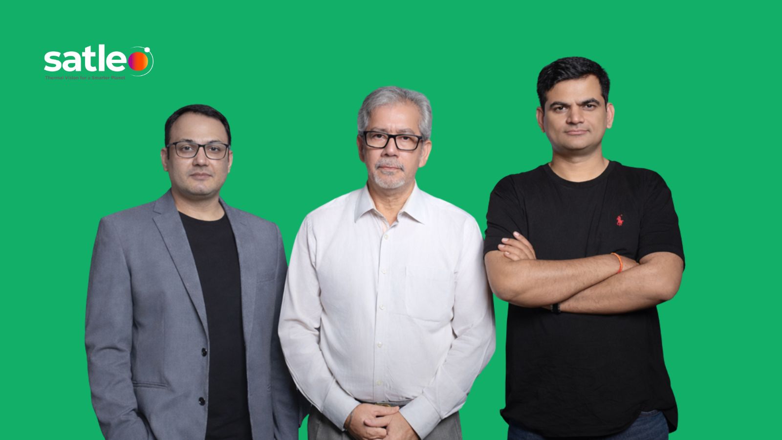
SatLeo was established in 2023 by Shravan Bhati, a satellite and geospatial specialist, alongside retired ISRO scientist Dr. Ranendu Ghosh and Urmil Bakhai, a seasoned business development leader. The founding trio spotted a crucial gap while working on a digital agriculture project — yield prediction models lacked granular micro-climate heat data. That observation became SatLeo’s entire raison d’être.
The company’s satellites carry thermal cameras operating across mid-wave infrared (MWIR) and long-wave infrared (LWIR) spectral bands, complemented by visible-spectrum cameras achieving approximately 10 cm resolution. Each spacecraft is equipped with an onboard processing unit that filters raw measurements, applies anomaly detection, and reduces transmission volume through edge computing. This low earth orbit sensor technology approach slashes latency dramatically — critical when you need real-time alerts for forest fires or infrastructure failures.
The MWIR band exposes forest fires and urban heat islands, while LWIR reveals land-surface temperature patterns. Together, these bands enable satellite thermal intelligence applications across agriculture, defense, disaster management, and urban planning. SatLeo’s thermal satellite imaging achieves approximately one Kelvin accuracy — sensitive enough to detect subtle heat variations invisible to conventional optical sensors.
TAPAS-1: The Tech Demonstrator Leading the Charge
SatLeo’s immediate roadmap centers on TAPAS-1 — Thermal Access Platform for Analytics & Solutions, a cubesat technology demonstrator scheduled to validate the thermal satellite imaging stack in orbit. Testing and calibration have been completed for this inaugural payload. The first operational satellite launch is scheduled for Q4 2026, marking the beginning of commercial data services across sectors like urban cooling, agriculture, and energy.
The long-term vision? A constellation of 12 microsatellites designed to capture thermal imagery with five-meter resolution and 2.5-meter-resolution electro-optical imagery, providing global coverage with twice-daily observations. That cadence transforms thermal data from a periodic snapshot into a continuously updated intelligence layer.
Commercial Thermal Data for Agriculture and Beyond
The practical implications run deep. Commercial thermal data for agriculture represents one of SatLeo’s most compelling use cases. Thermal imaging detects infrared radiation from the earth’s surface, identifying moisture levels in soil and revealing crop stress before visible damage appears. SatLeo’s platform could predict crop yields with up to 35% higher accuracy compared to conventional methods, according to the company.
The startup is already conducting thermal mapping of Tumakuru city, monitoring a 40-acre unmanaged waste dump to identify urban heat islands and detect hazardous greenhouse gases. It has conversations underway with Dubai Municipality and Saudi Arabian entities to address heat island problems. Satellite thermal intelligence applications in defense also loom large; CEO Bhati has confirmed the technology can monitor border activities, detect illegal operations, and track troop movements.
The company has already secured over $25 million in Letters of Intent from potential clients, signaling strong commercial traction well before satellites reach orbit. Commercial thermal data for agriculture alone could represent a significant revenue stream as climate volatility forces farmers worldwide to adopt precision monitoring.
How SatLeo Competes in a Crowded Thermal Satellite Imaging Market
SatLeo isn’t operating in a vacuum. Competitors include Satellite Vu (UK), OroraTech (Germany), and Hydrosat (US), all racing to dominate high resolution infrared earth observation from space. OroraTech has secured significant contracts, including €20M with the Greek government, and is expanding to a 100-plus satellite constellation focused on wildfire detection. Hydrosat monitors millions of acres for customers such as NOAA, NRO, and Bayer, focusing on water stress analytics.
SatLeo’s edge? India-based engineering capabilities and cost-efficiency, combined with incubation by IN-SPACe and access to ISRO facilities. These relationships allow the startup to sidestep major capital expenditure barriers that burden Western competitors. Its Analytics-as-a-Service (AaaS) model wraps around the satellite data, delivering plug-and-play insights through APIs rather than raw pixels. For climate resilience startup investments, that product-first approach matters enormously.
India’s Space Sector Fuels the Opportunity
The macro tailwinds are undeniable. India’s space industry is expected to grow from around $13 billion to $77 billion by 2030, according to a DAM Capital report, with satellite services contributing over $36 billion. The space sector contributed $60 billion to India’s GDP between 2014 and 2024, creating 96,000 direct jobs. Government support — including 100% FDI allowed in space component manufacturing — has catalyzed an explosion in private-sector participation.
With space tech startup funding crossing $2 billion in early 2026 alone, spacetech seed funding rounds 2026 are drawing unprecedented institutional attention. The UK-based Seraphim Space surpassed its €84 million fund target for early-stage spacetech investments, further validating the thesis that low earth orbit sensor technology ventures are the next frontier. Earth Observation data is projected to contribute $3.8 trillion to global GDP by 2030, making high resolution infrared earth observation a trillion-dollar conversation.
What Comes Next for SatLeo Labs
The path forward is aggressive but structured. SatLeo is expanding API pilots and refining its thermal analytics stack in the near term. By late 2026, with the commercial satellite operational, live services should roll out across core verticals. The long-term ambition is a global constellation offering twice-daily sub-10 m resolution thermal data to governments and enterprises worldwide.
For investors evaluating climate resilience startup investments, SatLeo represents a compelling confluence of timing, technology, and market need. Thermal satellite imaging is no longer a niche scientific tool — it’s becoming essential infrastructure for a warming world. And SatLeo Labs, armed with fresh capital and a clear mission, is positioning India squarely at the center of that transformation.
If you’re building products in agritech, urban planning, climate monitoring, or defense intelligence, now is the time to explore how commercial thermal data for agriculture and broader environmental monitoring will reshape your industry.
Frequently Asked Questions
What does SatLeo Labs do?
SatLeo Labs is an Ahmedabad-based spacetech startup building a constellation of microsatellites designed to capture high-resolution thermal and visible imaging data from Low Earth Orbit, serving agriculture, climate monitoring, urban planning, and defense sectors.
How much funding has SatLeo Labs raised in total?
SatLeo Labs has raised a total of $3.3 million across funding rounds, led by Merak Ventures with participation from Huddle Ventures, GVFL, Java Capital, IIMA Ventures, PointOne Capital, and angel investors.
What is TAPAS-1?
TAPAS-1 stands for Thermal Access Platform for Analytics & Solutions, SatLeo’s technology demonstrator cubesat designed to validate its thermal imaging stack in orbit, with a commercial satellite launch planned for
How does SatLeo’s thermal imaging technology differ from existing solutions?
While current thermal data operates at roughly 300-metre resolution every 18–21 days, SatLeo plans to deliver sub-10-metre thermal resolution with twice-daily coverage, combined with onboard AI edge computing for near-real-time insights.
Who are SatLeo Labs’ main competitors?
Key competitors include Satellite Vu (UK), OroraTech (Germany), Hydrosat (US), Constellr (Germany), and Albedo (US), each pursuing different verticals within the thermal satellite imaging market.
What is the market size for satellite thermal imaging?
The global satellite imaging market is projected to reach $28.51 billion by 2034 at a 19.12% CAGR, while the broader thermal imaging market is expected to hit $8.78 billion by 2034.
How can SatLeo’s thermal data be used in agriculture?
SatLeo’s thermal data can detect water stress and disease in broad-acre crops through early-stage heat signature analysis, supporting precision irrigation and potentially improving crop yield predictions by up to 35% compared to conventional methods.